Research and application
The need for small-scale information is diverse. This enables science and practice to optimize related measures, and decisions, but it also increase efficiency to identify successes or mistakes. In particular, the challenges should be considered about the data - e.g. spatial and temporal resolution, objectivity, homogeneity, etc.
The data users are actors from the local, regional and national level to the international level. The applications of the data are, for example, meauring green volume, building urban air pollution scenarios, estimating property values or geothermal potential.
Land use (Green Volume)
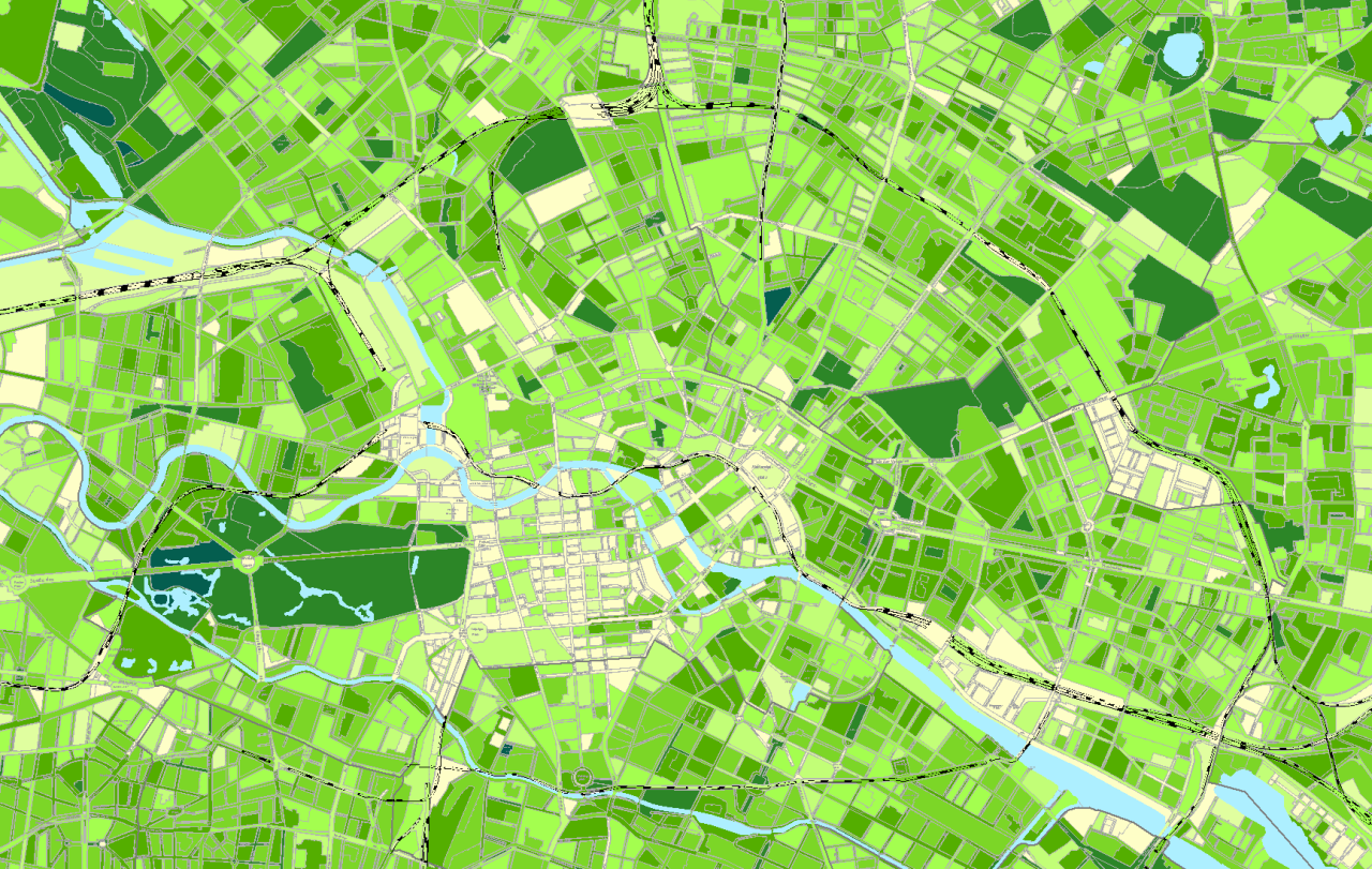
Please find more information Umweltatlas-Berlin
Climate adaptation (Air Pollution)
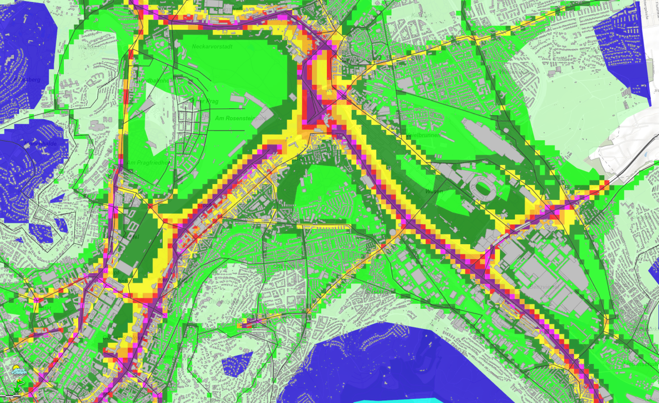
Please explore on more topics (Urban Climate, Noise mapping etc.) on: LHS Stuttgart
Urban planning (Property Value)
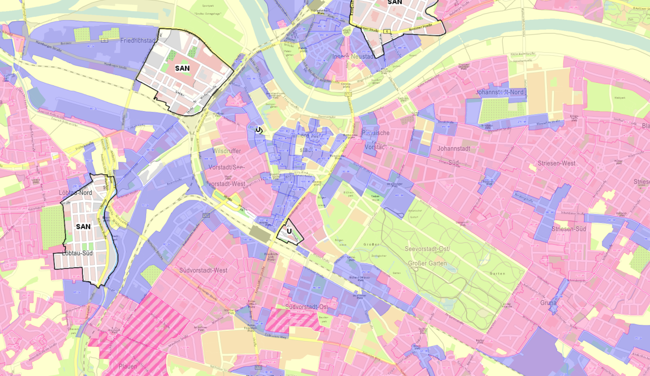
Please find more information on urban planning at city scale on: LHS Dresden
Energy research (Onshore wind potential)
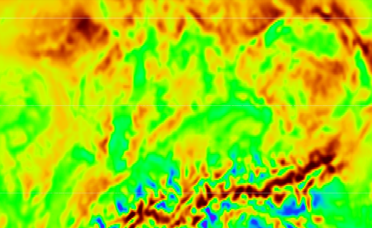
Let's have a look on global information on energy research on: IRENA-GlobalAtlas
Please find further applications and small scale information at local, regional, national and international level.
The aim is to make the results of land use monitoring more accurate, i.e. more small-scale and robust. To achieve this, the methods of land use monitoring must be further improved.
- Up-to-date information is required, for example, on the settlement/use density, on land use change, landscape quality, building stock, -type, -age and -use), transport infrastructure (density, accessibility) or energy requirements.
- The information potential of existing official geodata is very high, but subject to utilize more intensively - such as the German data sets "Hausumringe" (HU-DE), Building locations (GA) oder 3D-building models (LoD1-DE).
- User-generated data (Citizen Science) play an increasingly important role, besides new remote sensing data and new as well as updated official data.
- The data quality problems remain as an important concern (e.g. lack of timeliness, see also figure).
- Often there is still a lack of comprehensive data sets (e.g. on green spaces, small-scale population distribution).
- There is a massive mismatch between the comprehensive official data and the valid user-generated data (local).
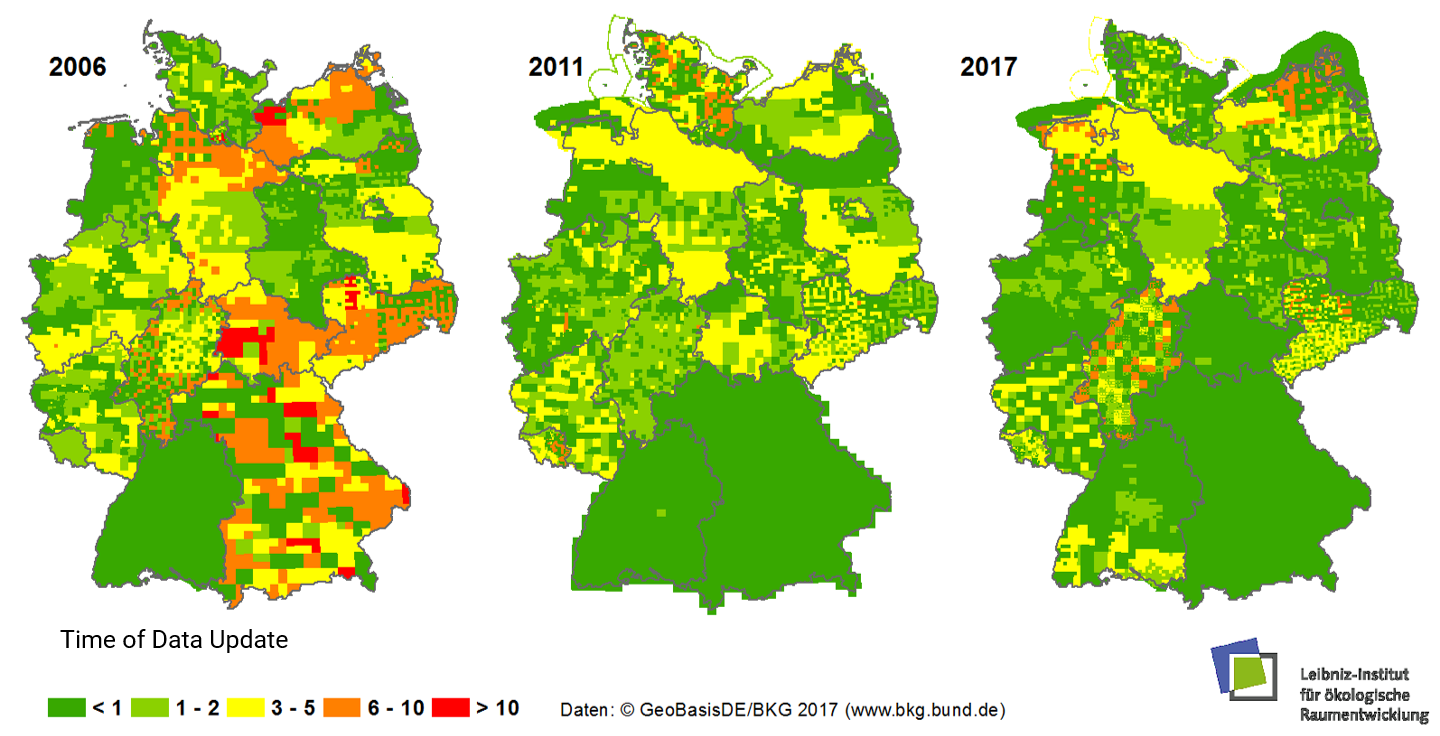
Up-to-dateness of the ATKIS Basic-DLM (Official Topographic-Cartographic Information System) on 2006, 2011 und 2017
Let's think about: Why is the ATKIS Basic DLM an important basic data set?
Please find more information on up-to-dateness of ATKIS Basic-DLM (Official Topographic-Cartographic Information System): www.ioer-monitor.de/methodik/glossar
