Vector data
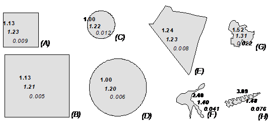
In geoinformatics, vector data are points, lines, polygons and bodies, which provide further information in the corresponding attribute table (such as land use). With vector data, especially with polygons, a direct calculation of the landscape metrics on the basis of the attributes (classes) can be carried out (see fig.9).
The geometric information of the vector data can be used to perform calculations with respect to area, perimeter or shape, among other things.
Vector data can, for example, be obtained from the ATKIS-DLM or freely from Open Street Map or can be digitised by the user. A prior quality control is indispensable for all data.

