Learning objectives and structure of the course unit
Authors of the course unit
David Hennecke David Hennecke has been working as a research assistant at the Chair of Geodesy and Geoinformatics at the University of Rostock since 2018.
After his bachelor's degree in Geography at the University of Innsbruck and his master's degree in “Geoinformation and Municipal Technology” at the Frankfurt University of Applied Sciences, he worked as a project assistant at the Frankfurt University of Applied Sciences at the Solar Cadastre of Hesse and as a clerk at the engineering office imp GmbH before his employment at the University of Rostock.
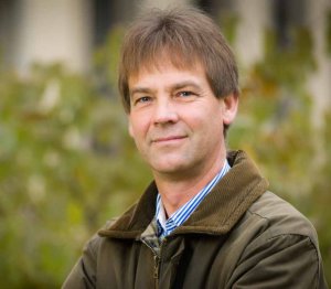
Prof. Dr. rer. nat. habil. Ulrich Walz has been Professor of Landscape Ecology at the HTW Dresden since 2015.
Prior to that, he worked at the Leibniz Institute for Ecological and Regional Development (IÖR) in Dresden. His research interests include land use and landscape change and its impact on biodiversity and sustainable land use. He develops spatial indicators for land use processes and ecosystem services using tools and methods of Geographic Information Systems. The question of how landscape structure can be made measurable and how this relates to biological diversity is a central theme.
Learning objectives of the lecture
Landscape metrics have been used as a tool in research for more than 30 years. In addition, they are partly regarded as important environmental indicators in German and international environmental policy.
In this module you will learn which landscape metrics exist and how or with which software you can use and calculate them. In addition, the required data basis is discussed in order to be able to carry out a successful analysis using landscape metrics.
In addition to the use of landscape metrics, the following contents are covered in this module:
- How can a landscape be defined/described?
- What is a landscape structure?
- What are the factors and causes of a landscape pattern?
- Where are the fields of application of landscape metrics?
- How can landscape metrics be used for analyses?
Structure of the lecture
The lecture is based on the habilitation thesis of Prof. Walz and his lectures at the University of Rostock (e.g. in the module Geoinformatics and Landscape Change) and is divided into 5 chapters:
- Basics
- Landscape metrics
- Data basis
- Software
- Research examples


