Land Monitoring Service
Data access for land monitoring
The Copernicus Land Monitoring Service is available at https://land.copernicus.eu The data is available after free registration (EIONET Account). Global, Europe-wide, local and in-situ data are offered there. These are primarily biophysical parameters and LULC data (Land Use/Land Cover).
The global component provides data on a wide range of biophysical variables at the global level that describe the state of vegetation (leaf area index, fraction of green vegetation cover, vegetation condition index), energy balance (albedo, land surface temperature, top of canopy reflectance) and water cycle (soil water index, water bodies).
The pan-European component provides high-resolution information products describing land cover and land use and their changes. The CORINE Land Cover (CLC) provides a Europe-wide mapping of land use and is now a unique time series for observing changes in our European landscapes since 1990 and is updated every six years. Since 2012, CLC has been complemented by the High Resolution Layer (HRL) on the land cover properties of the most important land cover types: artificial land, forest areas, agricultural land, wetlands and small water bodies. The Pan-European HRLs thus provide information on specific land cover characteristics and complement the CLC land cover and land use mapping. Another dataset is the European Settlement Map (ESM) with information on settlement and development as well as undeveloped and open areas.
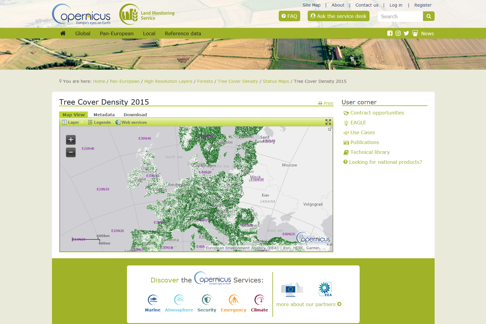
Example of a HRL Forests product: Tree Cover Density 2015.
The local component aims to provide specific and more detailed information that complements the information provided by the pan-European component. It focuses on hotspots vulnerable to specific environmental problems and provides detailed information on land cover and land use in the most important European cities. This so-called Urban Atlas is similar to the CLC map but has a much higher spatial resolution. However, with 27 classes (2012) it has fewer classes than the CLC dataset. In addition to updating the Urban Atlas, the next local component will deal with biodiversity in hotspot areas around rivers.
A regular update cycle ensures sustainable monitoring. In addition to the Sentinels as a source of information, the data is derived from other contributing missions (Proba-V, SPOT, RapidEye, ...).
Investigation of HRL: Forest and metadata. Research the update cycle, data sources and determination methods. Compare them with other data.
