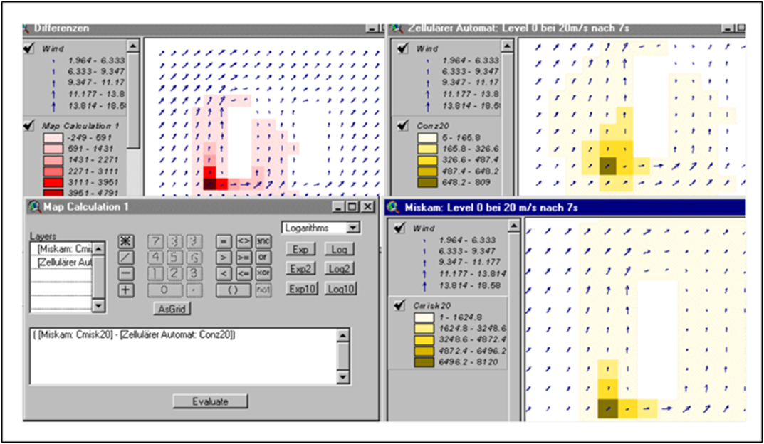
Example application of map algebra for raster data
The example in the figure below shows the application of a simple map algebra operator. It compares the calculated urban pollutant dispersal rates using two different simulation systems. The simulation results of the two models for the near-ground dispersion are available as raster data in a common spatial reference system. Using the map algebra operator LocalDifference, the differences of the two simulation calculations can now be calculated and displayed.

Application of the Map Algebra Operators LocalDifference to calculate the differences between the runs of two pollutant dispersion models
