Methods
Small-scale land use monitoring requires tools, models, algorithms, easy-to-understand geovisualisations in participation of diverse actors at all decision-making levels.
Therefore, the spatial data and geostatistical information are having particular importance and should be more accurate, up-to-date and available free of charge.
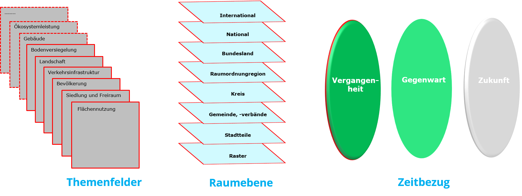
The practical exercises aims to analyse Available Open Data in combination with basic geoinformation including temporal dimension. The major milestons are:
- fundamentals of data management,
- spatial Analysis and
- interactive Application.
The practical exercises section will introduce relevant topics of the thematic spatial analysis step by step.
- Data sources of land use, building, transport network and land covers
- Land uses-, Transportation and Building purpose
- Describe with Indicators (Characteristics or properties)
- Analysis of different Spatial scales (Administrative levels, Transport)
- Visualization results in the from of Maps, Tables, Diagrams
