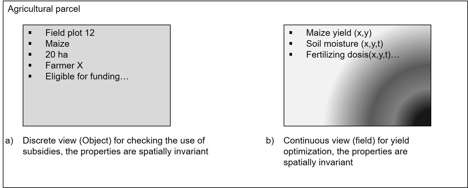
Example on agriculture as object- or field-based model
Another example is given by two different views of an agricultural parcel (see figure). If, for example, this parcel is modelled for an application to determine agricultural subsidies, it may be sufficient to model the parcel discretely as a geoobject based on vector data with spatially invariant properties for this parcel (Figure left: a). However, if the same area is to be modelled for precision farming purposes, the field-based model will be more suitable (Figure right: b). The soil moisture or yield measurements provide spatial high-resolution data that can be used to interpolate a value surface so that corresponding attribute values can be queried for each location and time of the plot.

Different views for modeling a geoobject agricultural parcel.
