Open Street Map
OpenStreetMap is a project founded in 2004 with the goal of creating a free world map. OSM cartographers generate data about roads, railways, rivers, forests, houses and everything else that can be seen on maps. This project aims to overcome the barriers that often exist for commercial geodata, e.g. in terms of usage rights and costs. In 2006, the OpenStreetMap Foundation was founded as a non-profit organization that maintains the infrastructure through donations and other funds (www.openstreetmap.org, F. Ramm und J. Topf, (2008)). OSM is essentially shaped by the commitment of its user community. Beginning of 2020 more than 5 million users were registered in the OSM Wiki. Anyone may use the OpenStreetMap data free of charge and process it at will. The data is subject to the Open Database License (ODbL).
Further information can be found at:
OSM in Rostock
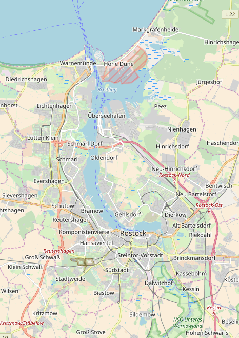
The following figure shows an excerpt from OpenStreetMap at the Rostock site.
Get experienced with OSM data at your own place of residence and familiarize yourself with the existing content and the expressiveness of the OSM data.


