Learning objectives and structure of the learning unit
Author of the course unit
Dr. Henning Aberle works at the German Federal Agency for Cartography and Geodesy on the satellites of the Copernicus program and their applications for teaching and research. In addition to multi- and hyperspectral remote sensing and field spectroscopy, his expertise lies in geo-information systems and forest inventories.
Learning objectives
The aim of the learning unit is to get to know the terminologies of optical remote sensing and to take a closer look at the properties of vegetation in this context. The importance of forests should be emphasized. After working on the lecture notes, you will have knowledge of the acquisition and processing of various open geo data and satellite data, with a focus on the European Earth observation programme Copernicus.
Structure
At the beginning we will discuss the topic and the importance of forests in a global context, but also of urban trees and green spaces at the local level. The role of remote sensing and its applications will be explained. In addition, various geodata and the data of the EU Copernicus programme are presented. The focus is on the Sentinel-2 satellites. The different data accesses are also explained. Finally, (basic) knowledge about optical remote sensing will be conveyed by means of vegetation monitoring.
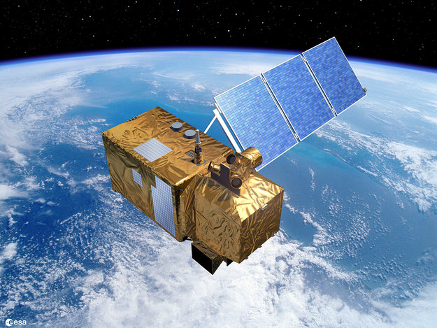
Sentinel-2. Source: ESA
Literature
At this point, reference is already made to the following basic literature:
German:
- Heipke, C. (2017): Photogrammetrie und Fernerkundung. Handbuch der Geodäsie, Springer Verlag.
- Albertz, J. (2009): Einführung in die Fernerkundung. Grundlagen der Interpretation von Luft- und Satellitenbildern, 4th ed. Wissenschaftliche Buchgesellschaft.
English:
- Jensen, R. (2007): Remote sensing of the environment: an earth resource perspective, 2nd ed. Prentice Hall Inc., Upper Saddle, NJ.
- Lillesand, T. M., Kiefer, R. W., Chipman, J. W. (2008): Remote sensing and image interpretation, 6th ed. Wiley-Blackwell, John Wiley & Sons, Hoboken, NJ.
- Jones, H. G., Vaughn, R. A., (2010): Remote Sensing of Vegetation. Principles, techniques and applications, 1st ed. Oxford University Press Inc., New York.
- Richards J. A. (2013): Remote Sensing Digital Image Analysis: An Introduction, 5th ed. Springer, Berlin/Heidelberg.
Content of the exercises
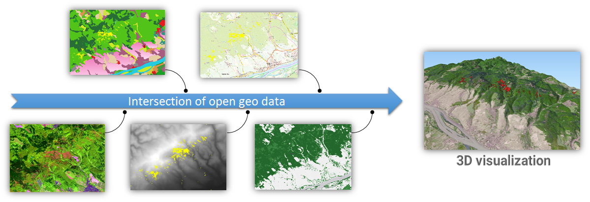
In the first case study, a storm event from August 2017 is investigated, during which major storm damage occurred in the forest of the Taunus (Hesse). A Sentinel-2 scene from before and after the event will be prepared, analysed and vegetation indices calculated for both points in time. By determining the differences between the indices, the damaged areas can be identified and extracted on the basis of a threshold value. The results are then intersected with land cover data to quantify the result with regard to the affected forest types. Finally, the determined wind throw areas are visualized in a three-dimensional terrain view.
Further case studies focus on the vegetation in urban areas. In addition to terrestrial surveys, e.g. in the form of tree cadastres, remote sensing also plays an important role in addressing vegetation and distinguishing large areas from land cover. In addition, open geodata from the Copernicus programme are used. They include, amongst others, tree cover, degree of sealing and land use. Multitemporal data can be used to record changes over time. The focus is on German cities and European capitals.

Workflow in the first case study.

