Application example
OpenStreetMap data is already very extensive and detailed in many parts of the world, including the DACH region. Openness and cooperation between government and society also make hybrid data products possible, for example from OpenStreetMap and governmental data, which represent additional added value for the public.
OSM in Rostock
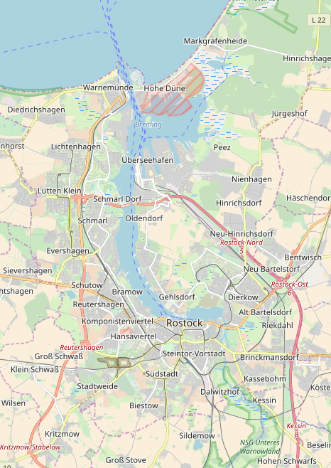
The following figure shows an excerpt from OpenStreetMap at the Rostock site.
Open regional map MV (ORKa.MV)
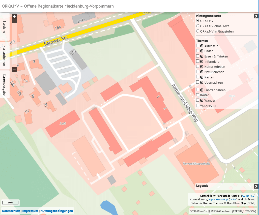
The Open Regional Map Mecklenburg-Western Pomerania (ORKa.MV) is an open map service from the administration (OpenGovData) in which cadastral data and OpenStreetMap data are combined. The ORKa.MV was realized by the administrative districts and independent towns in Mecklenburg-Western Pomerania (LkKfS-MV), the project is supervised and hosted by the cadastral, surveying and real estate office of the Hanseatic city of Rostock (https://www.orka-mv.de).
License of ORKa.MV
The ORKa.MV offered and owned by the Hanseatic City of Rostock is subject to the Creative Commons Attribution 4.0 (CC BY 4.0) free license. Thus it is permitted to use the ORKa.MV, to copy and redistribute it in any format or medium as well as to remix, to change and to build on the ORKa.MV for any purpose, also and above all commercially. The source note alone is always required for any type of use and must be designed as follows:
Map image © Hanseatic City of Rostock (CC BY 4.0) | Map data © OpenStreetMap (ODbL) and LkKfS-MV.Quote from the terms of use of ORKa.MVQuote from the terms and conditions of ORKa.MV
Search for a comparable open city map in your home town. If this is not available, compare a section of Rostock (otherwise your home town) between OpenStreetMap and the open regional map Mecklenburg-Vorpommern. What are the differences between them?


