Sentinel-2, part 1
General
"Sentinel-2" does not refer to a single satellite, but to a pair of satellites. The first satellite 2A was launched on 22.06.15, 2B was launched on 07.03.17. They circle around the earth in a polar sun-synchronous orbit at an altitude of about 786 km. The overflight times are similar to Landsat and SPOT-5. This makes the data sets more comparable and also allows time series analyses.
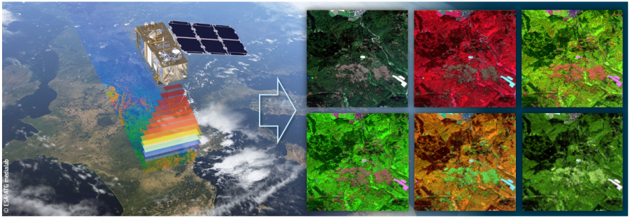
Artistic representation of Sentinel-2. Right: Image from the Taunus (Hesse), each in a different combination (red-green-blue, RGB) of different spectral bands.
Some key facts about Sentinel-2:
- Optical sensor with 13 channels - distributed in the electromagnetic spectrum from visible light via near infrared to medium (short-wave) infrared, approx. 440-2200 nm
- Ground resolution: 10-60 m per pixel
- High temporal coverage (every 10 days for 1 satellite, 5 days with 2 satellites, in higher latitudes also every 2-3 days)
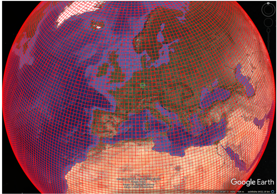
- The swath width of 290 km is larger than that of Landsat 7 and Landsat 8 (185 km) or SPOT (120 km). The downloadable Sentinel-2 images (tiles) always have a size of 100 x 100 km.
For getting to know more about it, the Sentinel Playground (Sinergise Ltd.) is recommended.
Global coverage of Sentinel-2 in a video animation (ESA):
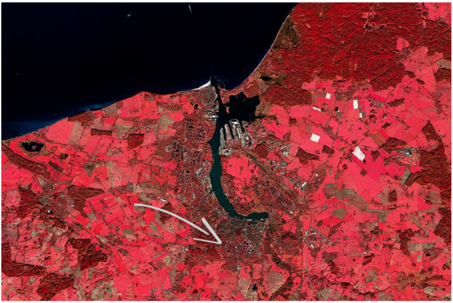
Rostock from above... Sentinel-2 Color Infrared (CIR) False color composite, RGB: 8-4-3. The arrow marks (approximately) the campus area of the University of Rostock.
Global coverage with Sentinel-2 as 100x100 km tiles.
