Relevant data sources
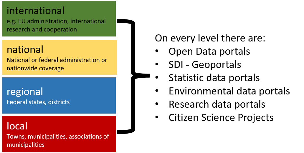
At all administrative levels (EU, national, federal states and cantons, regional and local authorities) there are data portals with geo, environmental and statistical data that can be relevant to geoscientific issues. Many environmental data portals, similar to the SDI entry points, provide thematic map viewers and geo-data (e.g. the Infothek of the German Federal Agency for Nature Conservation).
Further types of technical and geo-information systems - and thus also possible sources for open geodata - are explained in the section Application Areas of the learning unit on Geo-Information Systems.
Official statistics are often also visualised cartographically (see Map Viewer Census 2011). Even if the spatial relation of statistical data is not always obvious, many data sets on statistical portals are suitable for linking and visualizing with basic geodata (see exercise Administrative data).
In addition to public authorities and institutions, a large amount of open data is also provided by non-profit and often volunteer-based projects such as OpenStreetMap.
